
Original Record Source.
View the original record authored by ‘Helena Mottram’ at ‘METEORED (Your Weather)’ via recovered Helion Archive database link:
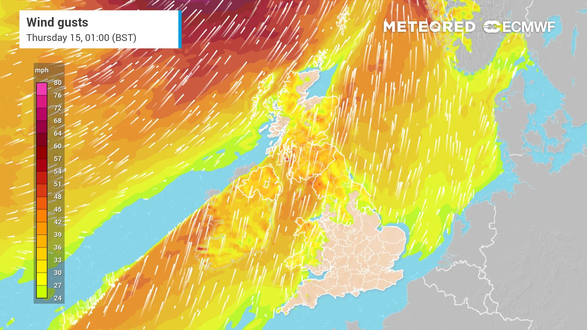
UK weather: Ex-Hurricane Isaias to bring 23°C warmth and 70mph gusts – where will be worst hit?
The remnants of ex-Hurricane Isaias are set to influence the UK’s weather this week, bringing a striking contrast between warm temperatures, spells of rain and powerful winds.
After a relatively cool weekend, a southerly airflow is bringing milder air northwards, with temperatures climbing well above average for October. Some parts of southern and eastern England could reach 23°C on Tuesday, while the remnants of the former hurricane are expected to contribute to a windier and wetter spell later in the week.
Be the first to receive forecasts thanks to our brand new WhatsApp channel.
So, where will see the warmest weather, and which areas could bear the brunt of the strongest gusts?
23°C warmth before rain sweeps across the UK
Monday is starting on a mild but rather cloudy note, with temperatures reaching around 14–19°C. Weather fronts are bringing outbreaks of rain and drizzle to many areas, while sunshine remains limited.
The mild air will also keep temperatures unusually high overnight, with some parts of England potentially staying close to 18°C.
Rain will …….
 English