
Much of the UK is still officially in drought after its hottest summer on record, but grasslands are slowly recovering their colour. This is thanks to some more reliable rain this month, which continues this first half of the weekend. However, forecast suggest another dry and warm spell in on the way. How warm will it be?
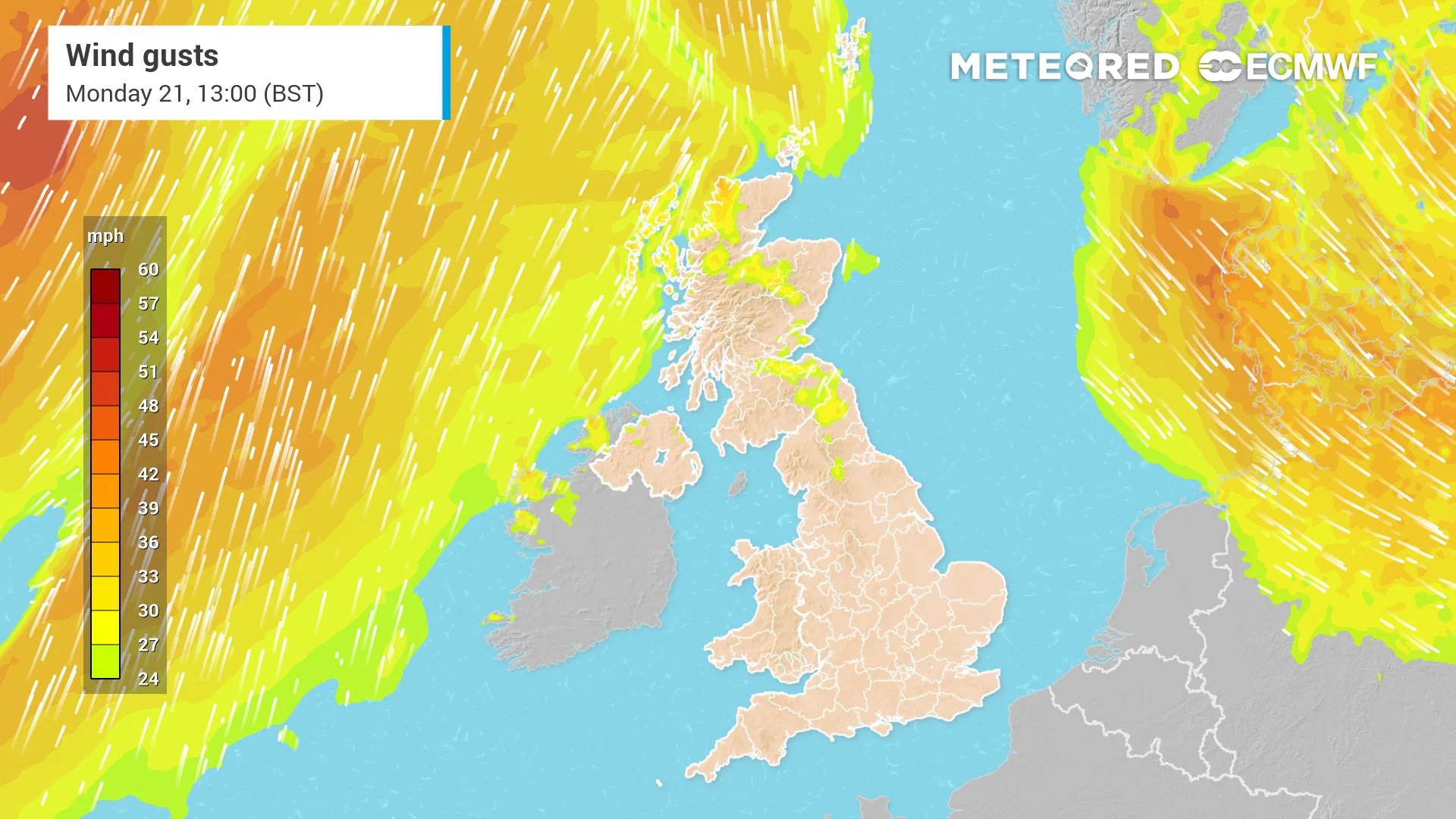
It has been a mixed start to the weekend with some showers in the north and the south, and clear spells in between. The unsettled weather has comes as low pressure remains dominant in the north of the UK. This has brought a cold weather front that’s currently sitting over England and Wales, and this also behind the strong westerly wind.
 Low pressure to the north of the UK causing strong winds and rain
Through the rest of the morning, those in the south-west of England and south of Wales should expect to see persistent rain and strong winds as the weathering slowly pushes into this area.
Related articleMore rain this Friday before unseasonable warmth arrives to the UK early next week 
Showers will also be common in the north particularly western Scotland these could be quite heavy and thundery at times and are expected to have blustery conditions because of the strong wind.
 Strong wind gusts today
Some of this unsettled weather will make it into eastern areas by the afternoon, so one or two showers could be expected in East Anglia in the South East of England as well as Eastern Scotland.
Areas in
Original Record.
This archived record authored by ‘Juan Garcia Valencia’ at ‘METEORED (Your Weather)’ was recovered from data set:
 English