
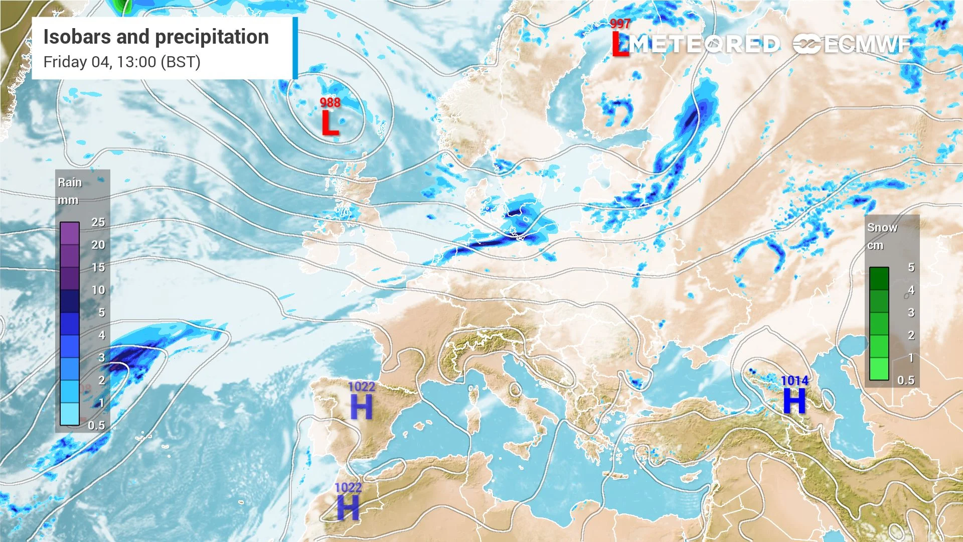
 Across the UK, the start of meteorological autumn is finally bringing the rain many areas have been desperately missing this summer. The cloudy skies and spells of rain will continue throughout the day, but where will the showers be heaviest?
Meteorological autumn started yesterday and since then, many places in the UK have experienced frequent showers, cloudy skies, and an overall return to more familiar wet and grey skies.
This comes as the Met Office provisionally announced the UK saw the warmest summer on record, with an average mean temperature of 16.5°C.
Good morning Muggles ️ Rise and shine. Beautiful Autumnal sunrise over Surrey this morning. Have a great day everyone #loveukweather #AutumnVibes pic.twitter.com/wJ5qV7iduD
— Allison (@Allison33932156) September 2, 2026
The highest temperature was recorded in Kew Gardens on the 13th of August, where the thermometer reached 38.1°C, during one of five widespread heatwaves this year.
Drought was also declared across the entirety of Wales and most of England, with wildfires causing devastation in parts of the country like the West Midlands.The good news is that our weather regime seems to have returned to its usual wet and windy characteristics, as a very wet start to the d
ay was experienced across Northern Wales, and North West England this morning. Rain coming in from the West this morningThe reason behind the increasingly wet conditions is a series of low pressure weather front pas
 sing through the country, bringing lots o
f rain. Plenty of cloud and drizzle across the rest of England as well, with
Original Record.
This archived record authored by ‘Juan Garcia Valencia’ at ‘METEORED (Your Weather)’ was recovered from data set:
 English