
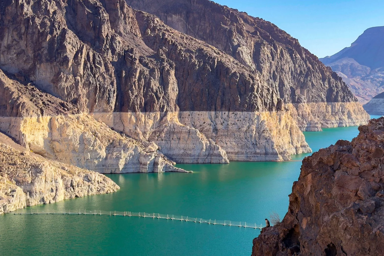
The second-largest reservoir in the US reached a record-low water height on Saturday – just days after the country’s largest reservoir broke its own record.
Both Lake Mead and Lake Powell are located on the Colorado River.
They provide water for populations across seven US states in the south-western US, with around 40 million people getting some or all of their municipal water from the Colorado River.
The river also provides water for around 5.5m acres (22,258 square kilometres) of farmland across Colorado, Arizona, California and the other states in the river basin.
Experts tell Carbon Brief that climate change, population growth and over-consumption are all contributing to the current record-low levels of the reservoirs.
Record lows
At full capacity, Lakes Mead and Powell can hold a combined 68 cubic kilometres of water – enough to supply all household consumption in the contiguous US for nearly 1.5 years. However, the water level in both reservoirs has been declining for decades.
The chart below shows the water level of Lake Mead, in metres above mean sea level. The reservoir, which began to fill in 1935 following the construction of the Hoover Dam, has a “full pool” maximum capacity of 347.60 metres. The water level in Lake Mead reached a record low of 317.11 metres on 7 August.

The following chart shows the water level of Lake Powell, in metres above mean sea level. Lake Powell’s full-pool level is 1,127.76 metres.
While the reservoir reached its maximum capacity several times in the 1980s, it has not done so since. On 15 August, the water level in Lake Powell was recorded at a new record-low of 1,072.87 metres.

Both reservoirs have continued to decline in the days since breaking their respective records. The downward trend will largely continue in both lakes until next spring, when the snowpack in the mountains of the Upper Colorado River Basin begins to melt, says Dr Jack Schmidt, a senior research scientist at Utah State University’s Center for Colorado River Studies. He tells Carbon Brief:
“The big dilemma of the moment is that we’re only in the middle of August, and we have no assurance of what the coming winter will be. The only thing we can be sure of is that we will be depleting overall total basin reservoir storage from now until, roughly, early April.”
Compounding factors
The record lows across the two reservoirs are the result of several compounding factors, experts tell Carbon Brief.
Since the turn of the 20th century, the amount of water flowing along the Upper Colorado River has declined by about 20%. Research suggests that half of this decline can be attributed to human-induced climate change.
Most of the river’s streamflow comes from the snowpack of the Upper Colorado River Basin, which stretches across five western US states but is primarily located in Colorado and Utah.
            <div class="gf_browser_chrome gform_wrapper gform-theme gform-theme--foundation gform-theme--framework gform-theme--orbital newsletter-inline_wrapper" data-form-theme="orbital" data-form-index="0"><div class="gform_anchor"></div>
                    <div class="gform_heading">
                        <p class="gform_description"></p>
                    </div>
                    <div class="gform-body gform_body"><div class="gform_fields top_label form_sublabel_above description_above validation_below"><div class="gfield gfield--type-honeypot gform_validation_container field_sublabel_above gfield--has-description field_description_above field_validation_below gfield_visibility_visible"><label class="gfield_label gform-field-label" for="input_5_7">Facebook</label><div class="gfield_description">This field is for validation purposes and should be left unchanged.</div><div class="ginput_container"></div></div><div class="gfield gfield--type-html gfield--input-type-html gfield--width-full preheader gfield_html gfield_html_formatted gfield_no_follows_desc field_sublabel_above gfield--no-description field_description_above field_validation_below gfield_visibility_visible">Free fortnightly newsletter


 English
Leave a Reply