
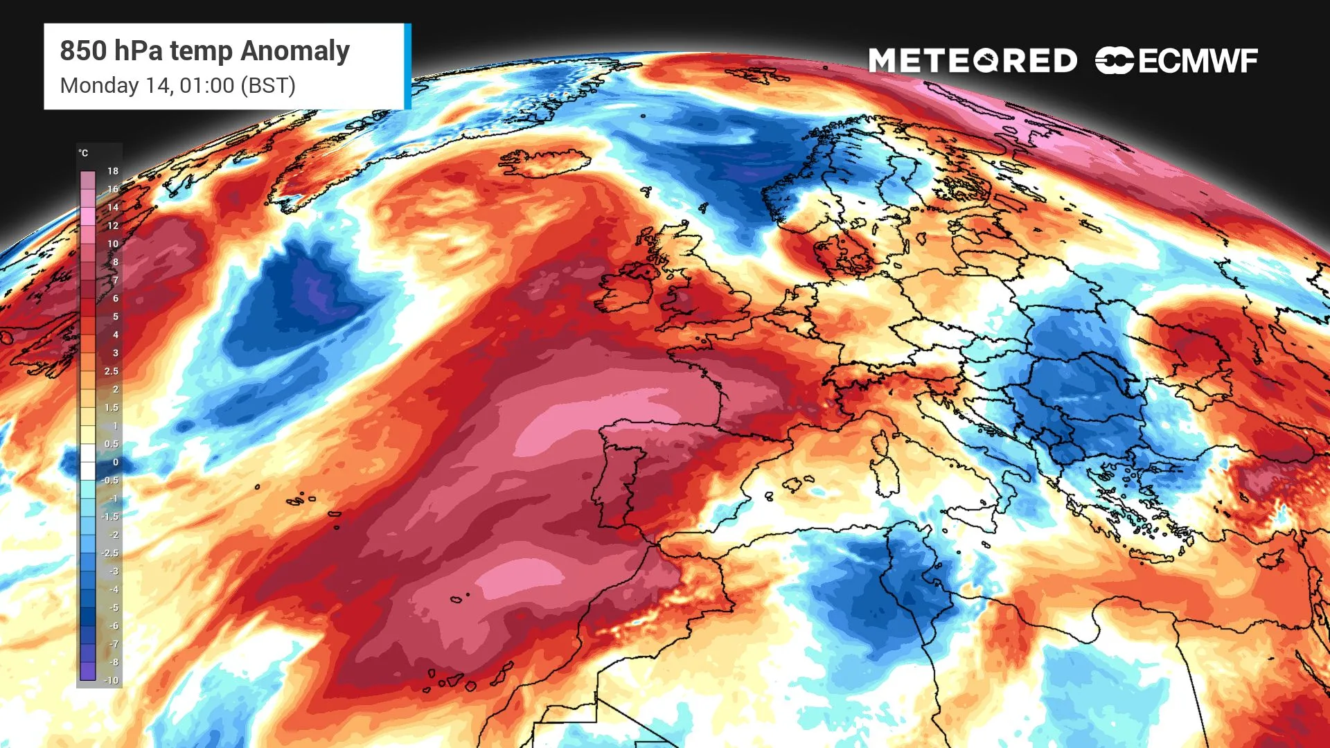
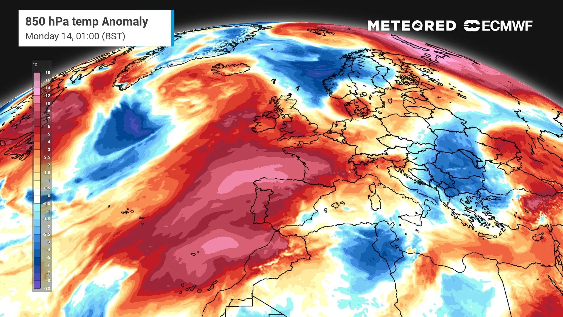
 A major climate pattern developing thousands of miles away could have an important influence on the UK’s weather this autumn, with forecasts pointing towards a greater chance of wetter and warmer-than-average conditions as the season progresses.
El Niño is strengthening in the tropical Pacific and is expected to peak around November or December. While it cannot determine exactly what weather the UK will experience, it can influence the wider atmospheric pattern and increase the likelihood of certain conditions.
For a country that has endured an exceptionally hot and dry summer, that could mean a dramatic change in the weather over the coming months.
Wetter weather could bring relief from drought
One of the biggest potential impacts for the UK is rainfall.
Seasonal forecasts suggest an increased likelihood of wetter-than-average conditions, particularly from November onwards. This could bring more frequent Atlantic weather systems, with periods of rain and stronger winds becoming more likely, especially across northern and western areas.
Be the first to receive forecasts thanks to our brand new WhatsApp channel.
The rain could be beneficial for parts of the UK still recovering from drought. Recent rainfall has already started to improve conditions, but reservoirs, rivers and groundwater supplies remain under pressure following the exceptionally dry summer.
However, a rapid shift towards wetter weather could also bring problems.
After months of dry conditions, heavy rainfall can run off hard or dry ground quickly, while repeated Atlantic systems could increase the risk of flooding in vulnerable areas.

The UK could therefore experience a form of weather whiplash, moving from an exceptionally
Original Record.
This archived record authored by ‘Helena Mottram’ at ‘METEORED (Your Weather)’ was recovered from data set:
 English