
![[Aggregator] Downloaded image for imported item #7907](https://echoesofthelastmind.com/wp-content/uploads/2026/08/dailymotion-xaug0qe.webp)
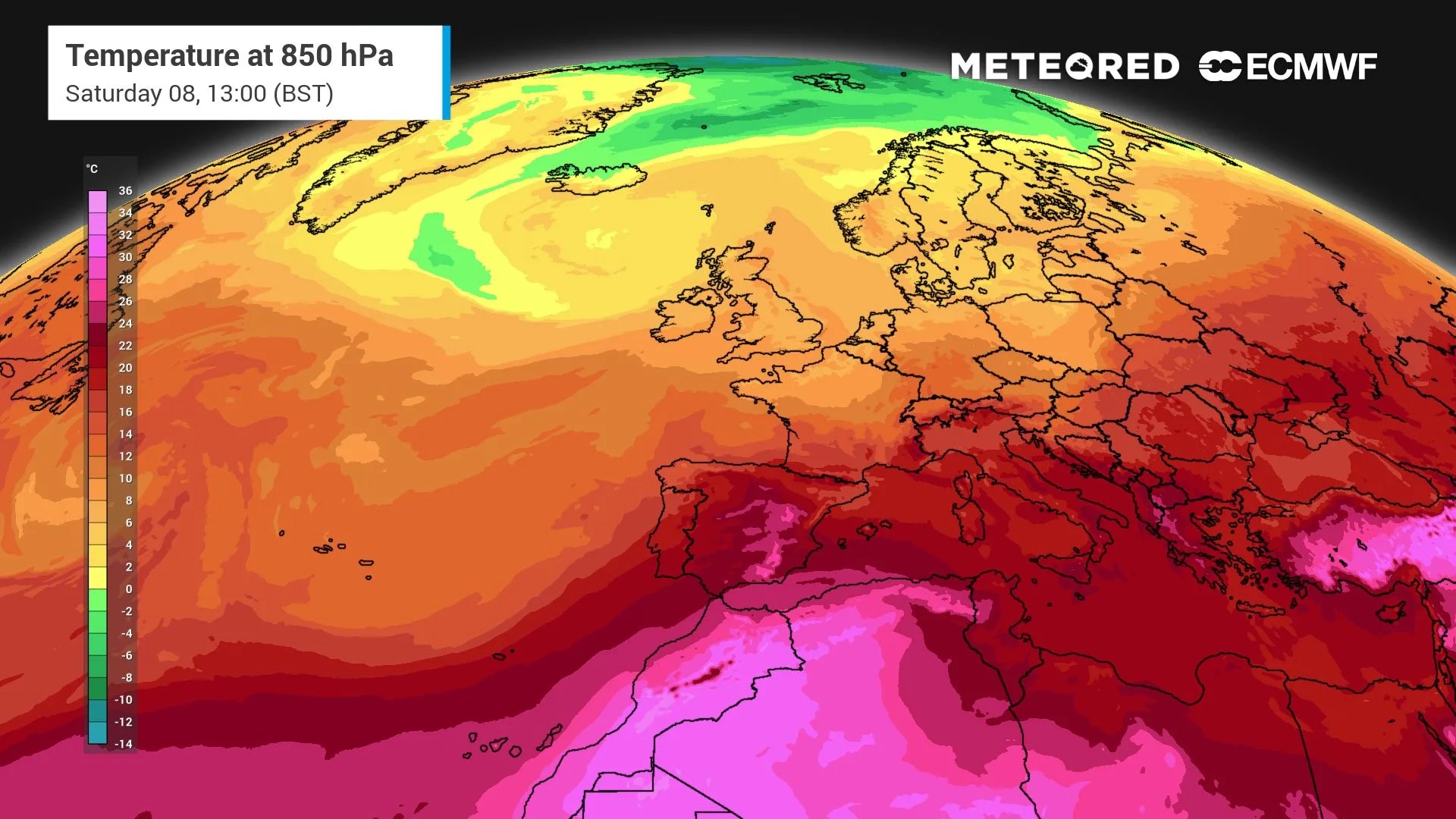 Here are the complex atmospheric processes behind the persistence of blocking high-pressure systems across Europe. These are the factors that have fuelled the intense heatwaves.
The summer of 2026 is shaping up to be one of the hottest and driest in decades for the European continent. With the arrival of the fourth consecutive heatwave, an obvious question arises: why does the same extreme weather pattern keep returning, trapping Europe in a grip of subtropical air?
The answer is not a simple coincidence, but rather a complex chain of atmospheric processes linking tropical seas with the behaviour of the jet stream, all of which is being amplified by the influence of climate change.
The “engine” in the tropics
To understand what is happening above our heads, we need to look thousands of miles away, towards the tropical oceans. Sea surface temperatures that are warmer than average act as an immense reservoir of energy.
 Sea surface temperatures that are warmer than average act as an immense reservoir of energy, driving from afar the processes that generate these prolonged heatwaves.
This heat fuels vast thunderstorm systems, known as tropical convection, which inject enormous quantities of sensible and latent heat into the atmosphere.
This massive transfer of energy disrupts the jet stream, the high-altitude ribbon of winds that circles the planet, causing it to meander. These oscillations are known in atmospheric physics as Rossby waves.
The slowdown at mid-latitudes and atmospheric blocking
If the tropics are the energy source that sets the wave in motion, they do not determine where it will
Original Record.
This archived record authored by ‘Helena Mottram’ at ‘METEORED (Your Weather)’ was recovered from data set:
 English