
Original Record Source.
View the original record authored by ‘Felipe Tornquist’ at ‘METEORED (Your Weather)’ via recovered Helion Archive database link:
London warms to 22°C under jet stream ridge while ex-Hurricane Isaias trigger 15.9mm rain and strong gusts in Glasgow
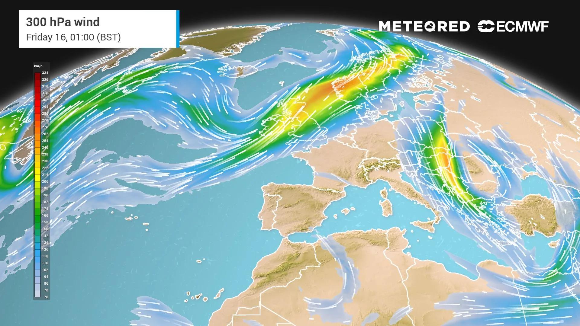
Ex-Hurricane Isaias is no longer a monster, but it remains a formidable atmospheric catalyst near the UK, a Mr Fantastic storm still stretching its influence across the Atlantic. The 300 hPa wind video shows the story clearly. Isaias is bending the jet stream, and that curve is the engine behind Thursday’s split.
Be the first to receive forecasts thanks to our brand new WhatsApp channel.
On Wednesday, the jet stream crosses central England, keeping the south dry. On Thursday, it sharpens into a jet streak over Scotland, driving intense gusts and heavy rain into Glasgow. By Friday, it relaxes before a massive Atlantic high settles for a dry Saturday.
A jet stream split drives north-south contrast
Wednesday will open quietly for most, as a French high holds a ridge across southern and central Britain, keeping most cities dry.
As the Icelandic low, the remnant of Isaias, dips south, its …….
 English