
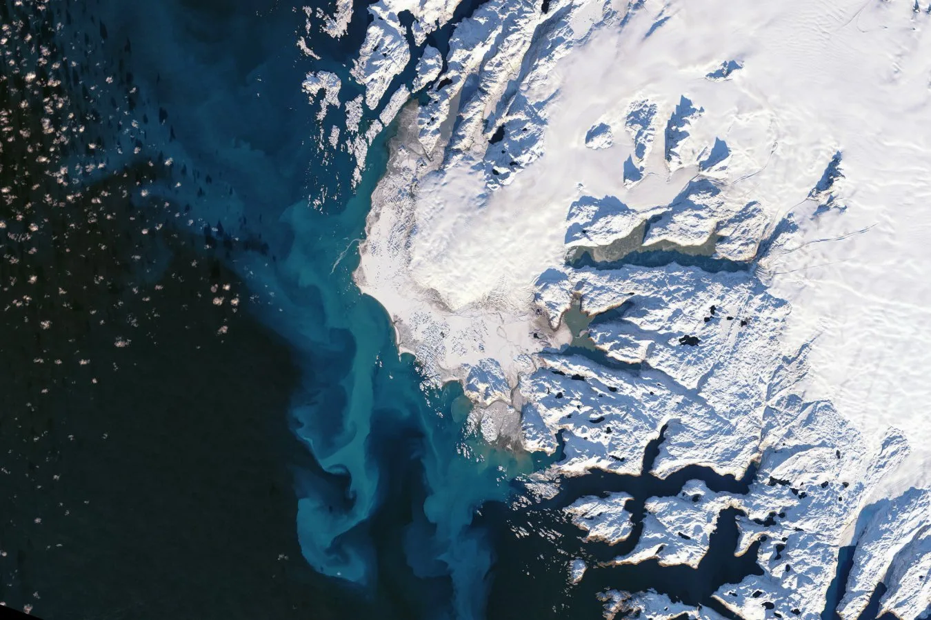
The longest satellite record ever compiled shows the vast majority of ice loss from Greenland and Antarctica is due to glaciers flowing faster, rather than warmer air temperatures melting them at the surface
Original Record.
This archived record authored by ‘Alec Luhn’ at ‘New Scientist’ was recovered from data set:
 English