
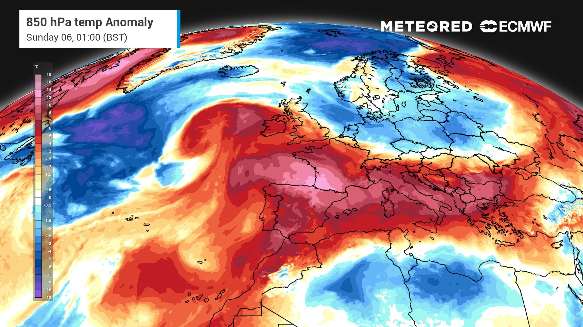
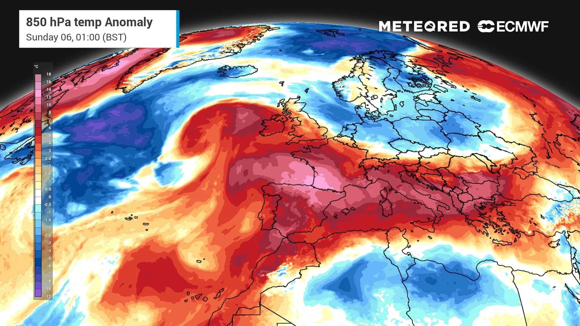
 A squeezed Atlantic low will bring heavy rain to the northwest and Yorkshire on Friday, with Manchester taking 19mm in a single day. The sun will return to the UK on Sunday, lifting London to 25°C and parts of Scotland to a surprising 24°C. Is this the beginning of another heatwave?
The sun will return to the UK after leaving for a couple of weeks. The video shows that Thursday was particularly hot across the UK, especially in the south, while Europe experienced even higher temperatures, with notable heat in Spain and northern France.
On Friday, the heat plume will shift towards France, causing temperatures to rise there while the UK cools down. Saturday will be even cooler, but a new wave of heat is expected to approach the UK on Sunday. F
riday’s rain and wind take centre stageFr
iday will bring the heaviest rain to the northwest and Yorkshire as the Atlantic low gets trapped between two highs, concentrating the rain in a tight band. The low is being squeezed as tightly as passengers on the London Underground at rush hour (map below).Th
 e rain band will become a sword of heavy rain, stabbing over Manchester, Lancaster, and Nottingham with over 15mm on Friday.Ma
nchester will receive 18.8mm, with Birmingham and York both 7.2mm and Glasgow 7.1mm. Meanwhile, the departing low to the north will continue to feed rain across the rest of Scotland, keeping conditions wet further north.Bu
t it is this departing low that is the main event. Its upper-level circulation
Original Record.
This archived record authored by ‘Felipe Tornquist’ at ‘METEORED (Your Weather)’ was recovered from data set:
 English